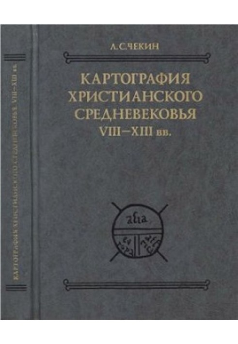
Cartography of the Christian Middle Ages. VIII-XIII centuries
 Instant download
after payment (24/7)
 Wide range of formats
(for all gadgets)
 Full book
(including for Apple and Android)
The latest edition of the collection “Ancient Sources on the History of Eastern Europe” is the first publication of medieval maps, both in domestic and foreign science, reflecting the territory of Eastern Europe and Northern Asia. Along with reproductions of maps, transcriptions of legends and their translation into Russian are published. Attached is a detailed reference book of personal names, toponyms, ethnonyms and names of animals, which contains their detailed study.
CONTENTS: Preface (5). Introduction (8). Chapter I. Maps T with Lukan nomenclature (22). Chapter II. Maps T with Sallustian nomenclature (27).Chapter III. Other cards T (54).Chapter IV. Maps of the inhabited earth with the Maeotian swamps in the center (67). Chapter V. Maps contrasting the north and south of the inhabited earth (74). Chapter VI. Maps from the lists of “Christian Topography” (79). Chapter VII. Western European maps with four bays (85).Chapter VIII. Combinations of four bay schemes and T (98).Chapter IX. Maps of narrow bays (109). Chapter X. Maps with detailed coastline of the Ebstorf-Hereford type (113). Chapter XI. Illustrations for the “Commentary on the Apocalypse” by Beatus of Liebana (158). Chapter XII. Ripoll map (168).Chapter XIII. Maps of Lambert of St. Omer (171). Chapter XIV. Maps of Matthew of Paris (178).Chapter XV. Map of John of Wallingford (184). REFERENCE BOOK (188). Scythian onomastics (188). Scythian bestiary (228). Library names (231). Editions of sources and literature (232). INDEXES (248). Manuscript index (248). Ethnogeographical index (252). ALBUM OF CARDS (289).
Data sheet
- Name of the Author
- Леонид Чекин Сергеевич
- Language
- Russian
- Translator
- Коллектив авторов


