 Instant download
after payment (24/7)
 Wide range of formats
(for all gadgets)
 Full book
(including for Apple and Android)
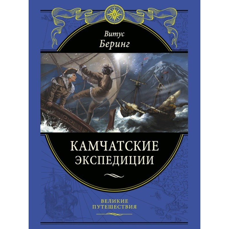
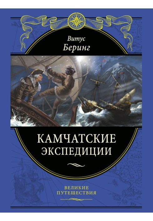
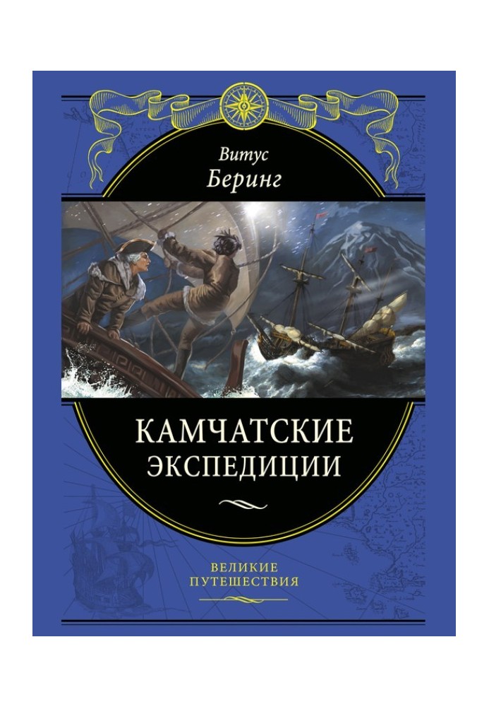
What is more important for an active and ambitious person? Wealth, fame, fulfillment of a dream, a name on a map? The geographical names “Bering Sea”, “Bering Island” and “Bering Strait” - is this a lot or a little for a life spent in a foreign country, and a grave lost on an island blown by piercing winds? Judge for yourself. Vitus Jonassen Bering (1681–1741) - a Dane who gained fame as a Russian navigator, a 22-year-old graduate of the Amsterdam Cadet Corps, became a lieutenant in the Russian fleet. He took part in both wars of Peter I - with Turkey and with Sweden. He rose to the rank of captain-commander. Just before his death, Peter the Great sent an expedition to the Far East, the head of which was appointed Bering. According to the emperor's secret instructions, Bering was instructed to find the isthmus or strait between Asia and North America. During this, the First Kamchatka Expedition (1725–1730), Bering completed the discovery of the northeastern coast of Asia. Three years later, he was tasked with leading the Second Kamchatka Expedition, during which Bering and Chirikov were to cross Siberia and from Kamchatka head to North America to explore its coast. In total, including preparation, the expedition took 8 years (1734–1742). During it, after many difficult trials and dangerous adventures, Bering reached America and on the way back, during a forced winter on the island that now bears his name, he died on December 8, 1741. Alas, Bering did not have time to describe the expedition - this is for him made by his surviving assistant Sven Waxel. But they used the maps of two Russian expeditions subsequently all European cartographers. The first navigator who confirmed the accuracy of Bering's research, the famous James Cook, paying tribute to the Russian commander, proposed naming the strait between Chukotka and Alaska after Bering - which was done. Is it a lot or a little - a name on a map? The book contains documents and reports from participants The First (1725–1730) and Second (1734–1742) Kamchatka Expeditions, detailing the progress of research in difficult, sometimes deadly conditions of campaigns in little-explored areas of Siberia and the Far East. The publication, in addition to the documents of the expedition and the writings of its participants: S. Vaksel, G. Miller and S. P. Krasheninnikov, also includes review works by the historian of the Russian fleet and maritime geographical discoveries V. N. Berch and the German geographer F. Gelvald. Electronic publication includes all the texts of the paper book and basic illustrative material. But for true connoisseurs of exclusive publications, we recommend a gift classic book. It provides visuals that complement the narrative with hundreds of maps, black-and-white and color ancient paintings and drawings, which will allow the reader to vividly imagine the environment in which the events of these heroic expeditions took place. The publication is printed on beautiful offset paper and elegantly designed. This edition, like all the books in the “Great Travels” series, will adorn any, even the most sophisticated library, and will be a wonderful gift for both young readers and discerning bibliophiles.
Книга "Камчатські експедиції" - це справжня подорож у часі, яка переносить читача в епоху великих відкриттів і морських пригод. Автор майстерно описує життя та діяльність Вітуса Берінга, його неймовірні досягнення та труднощі, з якими він стикався під час експедицій. Ця книга не лише інформативна, але й надихає, адже вона демонструє, як одна людина може змінити хід історії, залишивши свій слід на карті світу. Ілюстрації, які супроводжують текст, додають глибини та емоційності, дозволяючи читачеві краще уявити умови, в яких проходили ці героїчні події. Рекомендую цю книгу всім, хто цікавиться історією, географією та пригодами, адже вона стане справжнім скарбом у вашій бібліотеці!
What is more important for an active and ambitious person? Wealth, fame, fulfillment of a dream, a name on a map? The geographical names “Bering Sea”, “Berin...