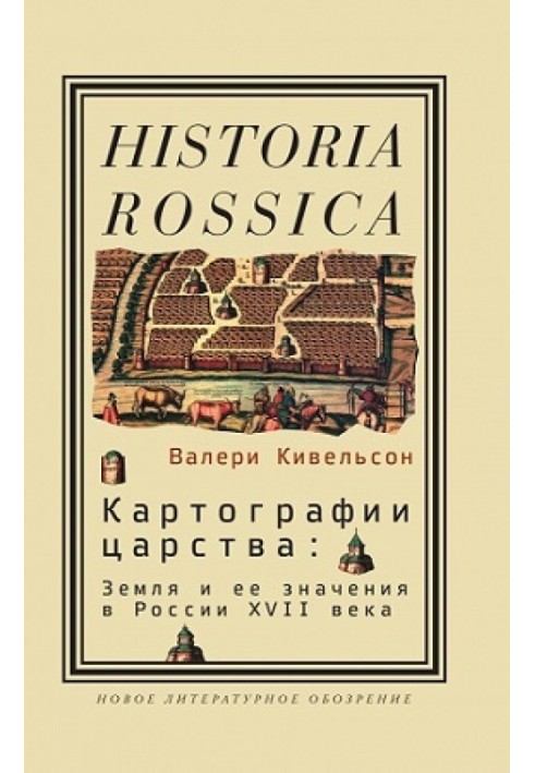
Cartographies of the kingdom
 Instant download
after payment (24/7)
 Wide range of formats
(for all gadgets)
 Full book
(including for Apple and Android)
The monograph by American historian Valerie Kivelson opens up to the reader the amazing and colorful world of Moscow cartography of the 17th century. Drawings of land plots drawn during numerous lawsuits, maps of the Muscovite kingdom and Siberia become the most valuable source on the history of the worldview of the people of that era. What place did serfs occupy in Moscow society and in the huge emerging empire - the conquered Siberian peoples? What feelings did the surrounding nature evoke among the inhabitants of Muscovy and among the pioneers about the new lands emerging before them? These and other similar questions, located at the intersection of social and cultural history, are raised by V. Kivelson in his book - the first study in scientific literature of the role of space and spatial imagination in pre-Petrine Russia. CONTENTS: From the editor 9 Acknowledgments 13 Introduction 171. Moscow cartography in the context of history and historiography 322. Cartography, autocracy and legality in Muscovy 533. Signs in space: Peasants and property in a serf-dominated society 884. “Souls of the righteous in a bright place”: Landscape and Orthodoxy on Russian maps of the 17th century 1395. Messages from the earth: Maps of Siberia and providential narratives 1626. “The exalter and glorifier at the end of the Christian horn”: Christianity and colonialism 2027. “Foreigners are foreigners, countless and innumerable”: “Human geography” of Siberia and the concept of empire in Muscovy 2298. Under the sovereign’s high hand: Colonial subjects and the imperial policy of Muscovy 258Conclusion 279Notes 285Bibliography 333Index 353
Data sheet
- Name of the Author
- Валери Кивельсон
- Language
- Russian


